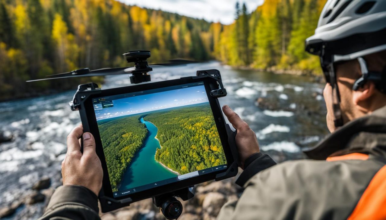
At our company, we specialize in expert drone surveys for accurate and efficient mapping in Michigan. Our team of licensed land surveyors and experienced field technicians utilize the latest drone technology to provide comprehensive mapping services. With high-resolution drones equipped with advanced cameras, we capture precise aerial data for aerial mapping, topographic mapping, and land surveying projects. Our state-of-the-art equipment, including unmanned aerial systems (UAS), ensures fast and efficient data gathering while maintaining accuracy.
Key Takeaways:
- Our expert drone surveys offer accurate and efficient mapping services in Michigan.
- We utilize high-resolution drones equipped with advanced cameras for precise aerial data capture.
- Our licensed land surveyors and experienced field technicians ensure accuracy and efficiency in data gathering.
- Our state-of-the-art equipment, including unmanned aerial systems (UAS), enables fast and efficient mapping.
- Choose our services for your aerial mapping, topographic mapping, and land surveying needs in Michigan.
Comprehensive Land Surveying Services in Michigan
At our company, we are proud to offer comprehensive land surveying services in Michigan. Our team of professional drone surveyors is equipped with the latest technology to provide accurate and efficient mapping solutions for various projects. Whether you need topographical surveys, boundary surveys, or construction layout services, we have the expertise to meet your needs.
Our topographical surveys utilize high-definition surveying (3D laser scanning) and unmanned aerial systems (UAS), allowing us to capture precise and detailed data. This advanced technology enables us to create accurate maps and models, providing valuable information for land development and infrastructure planning.
When it comes to boundary surveys, our experienced surveyors utilize GPS control networks and GIS technology to determine property boundaries with precision and accuracy. We specialize in land divisions, preparation of legal descriptions, and the creation of subdivision plats and condominium documentation.
Our commitment to using the latest technology and employing highly skilled professionals ensures that we provide reliable and efficient land surveying services in Michigan. Trust us for your mapping needs, and our team will deliver accurate and precise results for your project.
Table: Land Surveying Services
| Service | Description |
|---|---|
| Topographical Surveys | Utilizing 3D laser scanning and unmanned aerial systems to capture precise data for land development and infrastructure planning. |
| Boundary Surveys | Determining property boundaries with precision and accuracy using GPS control networks and GIS technology. |
| Construction Layout | Providing layout services for construction projects, ensuring accurate positioning of structures and utilities. |
With our comprehensive land surveying services, you can trust that your mapping needs in Michigan will be handled with expertise and efficiency. Contact us today to discuss your project requirements and let us provide you with reliable and accurate surveying solutions.
Accurate Aerial Mapping Services in Michigan
At [Company Name], we offer accurate and reliable aerial mapping services in Michigan. Our team of experienced professionals utilizes high-resolution drones equipped with advanced cameras to capture detailed aerial data. This allows us to create precise maps and 3D models for a variety of applications, including land development, infrastructure planning, and environmental monitoring.
Our high-resolution drone surveys in Michigan provide us with the ability to capture detailed images and data from a variety of angles and elevations. This allows us to accurately map the terrain, identify any potential obstacles or features, and create comprehensive maps and models for our clients. Whether you need a topographic map, a site plan, or a detailed 3D model, our aerial mapping services can provide you with the accurate data you need.
Our surveying and mapping services in Michigan are carried out by our team of skilled professionals who have extensive experience in the field. We utilize the latest technology and techniques to ensure that the data we collect is accurate and reliable. With our high-resolution drone surveys and 3D modeling capabilities, we can provide you with the information you need to make informed decisions about your projects.
Benefits of Our Aerial Mapping Services in Michigan:
- Accurate and detailed aerial data
- Precise mapping and 3D modeling
- Fast and efficient data collection
- Customizable mapping solutions
- Expert analysis and reporting
With our aerial mapping services in Michigan, you can have confidence in the accuracy and reliability of the data we provide. Whether you need mapping for land development, infrastructure planning, or environmental monitoring, our team of professionals can deliver. Contact us today to learn more about how our aerial mapping services can benefit your project.
| Services | Keywords |
|---|---|
| Aerial mapping services | aerial mapping services Michigan |
| High-resolution drone surveys | high-resolution drone surveys Michigan |
| 3D modeling | 3D modeling Michigan |
| Surveying and mapping services | surveying and mapping services Michigan |

Efficient Topographic Mapping in Michigan
When it comes to topographic mapping in Michigan, our team is committed to providing efficient and accurate results. We utilize advanced drone technology to collect detailed data for topographic surveys, ensuring that our clients have the information they need for their land development projects.
One of the key advantages of utilizing drones for topographic mapping is the speed and efficiency of data collection. With our high-resolution drones, we can quickly capture precise aerial data, minimizing the time and effort required for traditional surveying methods.
Our topographic mapping services extend beyond just capturing data. We specialize in conducting hydrographical surveys, as-built surveys, and stockpile volumetric surveys. These additional services provide valuable insights and information for various projects, such as analyzing water bodies, assessing existing structures, and measuring stockpile quantities.
Efficient Topographic Mapping Services
Our team of experienced professionals is dedicated to delivering efficient topographic mapping services in Michigan. By leveraging the latest drone technology and surveying techniques, we ensure accurate and reliable results for our clients. Whether you require topographic surveys for land development, infrastructure planning, or environmental monitoring, we have the expertise and resources to meet your needs.
| Topographic Mapping Services | Key Features |
|---|---|
| Hydrographical Surveys | Accurate assessment of water bodies and their characteristics |
| As-built Surveys | Detailed documentation of existing structures and features |
| Stockpile Volumetric Surveys | Precise measurements of material quantities in stockpile areas |
With our efficient topographic mapping services, you can have confidence in the accuracy and reliability of the data we provide. Our commitment to using advanced technology and industry best practices ensures that we deliver high-quality results that meet the unique requirements of each project.

Precise Boundary Surveys in Michigan
When it comes to determining property boundaries in Michigan, our team of experienced surveyors offers precise and accurate boundary survey services. We understand the importance of clearly defining land boundaries, whether it’s for land divisions, preparation of legal descriptions, subdivision plats, or condominium documentation. With our expertise and advanced surveying techniques, we strive to provide reliable and trustworthy results for our clients.
Our boundary survey services involve a comprehensive process that includes gathering data, analyzing existing records, conducting field measurements, and preparing accurate boundary maps. We utilize advanced tools and technology, such as GPS control networks and GIS technology, to ensure the highest level of accuracy in our surveys.
Table: Example Boundary Survey Services
| Service | Description |
|---|---|
| Land Divisions | Determining the division of land into separate parcels according to legal requirements. |
| Preparation of Legal Descriptions | Creating accurate and detailed descriptions of the property’s legal boundaries. |
| Subdivision Plats | Developing precise maps showing the layout and boundaries of subdivisions. |
| Condominium Documentation | Preparing documentation and surveys for condominium developments. |
By partnering with our team for boundary surveys in Michigan, you can rely on our expertise to ensure the accuracy and reliability of your property boundaries. Our commitment to precision and attention to detail sets us apart, providing you with the confidence you need for your land-related projects.
Reliable Drone Data Collection in Michigan
At our Michigan-based drone surveying company, we offer reliable and accurate drone data collection services for a variety of applications. Our team of skilled professionals harnesses the power of advanced drone technology, including laser scanning and mobile LiDAR scanning, to capture detailed data for GIS mapping and other purposes. We are committed to providing high-quality and precise results to meet the specific needs of our clients in Michigan.
“Our drone data collection services in Michigan are designed to provide our clients with reliable and accurate data for their projects.”
GIS mapping is one of the primary applications where our drone data collection services excel. By utilizing advanced drone technology, we can capture aerial imagery and collect geospatial data that can be used to create detailed maps. This allows businesses and organizations in Michigan to gather valuable insights and make informed decisions based on up-to-date information.
Additionally, our drone data collection services include laser scanning and mobile LiDAR scanning, which enable us to capture highly accurate 3D data. This technology is particularly beneficial for various industries, including architecture, engineering, and construction, as it provides detailed information about the physical characteristics of structures and landscapes.
Choose our reliable drone data collection services in Michigan to gather accurate and valuable data for your projects. With our advanced technology and skilled team, we are dedicated to delivering precise results that meet the highest standards of quality and reliability.
Conclusion
At our company, we are proud to offer expert Michigan drone surveys for accurate and efficient mapping. Our team of professional drone surveyors, combined with the latest drone technology, allows us to provide comprehensive land surveying, aerial mapping, topographic mapping, and boundary survey services throughout Michigan.
By utilizing high-resolution drones equipped with advanced cameras, we capture precise aerial data to create detailed maps and 3D models. Our commitment to using state-of-the-art equipment, including unmanned aerial systems (UAS), ensures fast and efficient data gathering without compromising accuracy.
Whether you require topographic mapping, land surveying, or aerial mapping services, our experienced team is equipped to meet your needs. We specialize in a wide range of solutions, including hydrographical surveys, as-built surveys, and stockpile volumetric surveys, providing valuable information for land development projects.
Choose our services for your mapping needs in Michigan. We are dedicated to delivering accurate and reliable data, ensuring that your projects are executed with precision and efficiency. Contact us today to benefit from our professional expertise and advanced technology.
FAQ
What services do you offer for land surveying in Michigan?
We offer topographical surveys, boundary surveys, and construction layout services using high-definition surveying (3D laser scanning) and unmanned aerial systems (UAS).
What technology do you use for aerial mapping in Michigan?
We use high-resolution drones equipped with advanced cameras to capture detailed aerial data for accurate mapping and 3D modeling.
How do you ensure accuracy in your topographic mapping services in Michigan?
We utilize advanced drone technology to collect precise and comprehensive data, including conducting hydrographical surveys, as-built surveys, and stockpile volumetric surveys.
What types of surveys do you perform for boundary surveys in Michigan?
Our experienced surveyors perform land divisions, prepare legal descriptions, and create subdivision plats and condominium documentation to determine property boundaries.
What data collection services do you offer using drones in Michigan?
We provide reliable and accurate data for GIS mapping and other applications using advanced drone technology, including laser scanning and mobile LiDAR scanning.


