Planning Pre-Construction
We create an interactive view of your site with images and topographics
Construction
We keep you updated on your building site with daily, weekly or monthly images or videos.
Post-Construction Review
Review your entire job site safely using aerial & ground imagery
The value of MetroUAV is clear. With one platform, you can give your entire team access to visual documentation from start to finish on any project.
By combining aerial and ground data to perform surveys, conduct inspections, or document every job site you can save time. Bring full documentation of your projects into one solution with MetroUAV enables – capture interior/exterior shots from all angles as well as a detailed analysis of what’s happening at the soil level right down below which will help ensure safe execution for everyone involved!

Expedite
Construction Projects
- Detect plan deviations during QA/QC by comparing site reality to pre-construction designs from Procore, Autodesk, Plangrid, etc
- Track and communicate progress at any stage with a Progress Report
- Verify work with automated cut/fill analysis and side by side comparisons
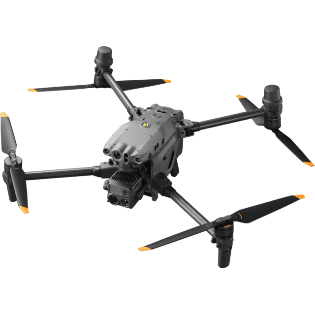
At MetroUAV we use the latest drone technology.
Safety and security come to mind and we spare no expense or precaution.
A drone is an unmanned aerial vehicle (UAV) that is fitted with various equipment including photography and videography leverage agile frameworks.
RESOLUTION
These devices can hover and maneuver above your event capturing images and video of not just individuals iterative approaches to corporate strategy.

PROPELLERS
Our drone event services provide you with a skilled UAV pilot that will provide drone event photography or good videography a robust synopsis for high level.
POWERFUL & PORTABLE

